Mackay's tropical climate delivers over 1,600 mm of rainfall annually, with cyclonic events concentrating runoff into short, intense bursts. The city's coastal geology — a mix of alluvial terraces, marine clays, and residual granitic soils — creates a dual challenge: surface water ponding and deep-seated groundwater seepage. Effective geotechnical drainage design in Mackay must address both perched water tables in the lower Pioneer Valley and the rapid infiltration rates of the sandy coastal fringe. Without a properly engineered subsurface drainage system, pore pressures rise quickly, reducing effective stress in foundation soils and triggering differential settlement. The team integrates site-specific permeability tests, such as constant-head and falling-head borehole tests, with long-term piezometer monitoring to calibrate drainage layouts before any earthworks begin. This data-driven approach ensures that every perforated pipe, granular blanket, or wick drain is sized for the actual hydraulic conductivity of the native ground, not a textbook estimate.
Perched water tables in Mackay's alluvial flats can rise 2 m in 24 hours after a cyclonic event, demanding drainage systems designed for transient rather than steady-state flow.
Methodology and scope
A commercial development on Milton Street recently required drainage design for a basement excavation extending 4 m below the seasonal water table. The geotechnical investigation revealed an average hydraulic conductivity of 3 × 10⁻⁶ m/s in the estuarine clay layer, demanding a perimeter trench drain system backed by a computer-modelled flow net. The drainage design process in Mackay typically follows these stages:
Site walkover and identification of surface drainage paths and low points
Borehole installation with vibrating-wire piezometers for baseline pore pressure data
Laboratory triaxial permeability testing on undisturbed samples from the target strata
Numerical seepage analysis using SEEP/W or similar finite-element software to predict drawdown curves
Where clay layers are thick, the design often incorporates prefabricated vertical drains to accelerate consolidation, combined with a permeability field test to confirm drainage anisotropy. For sites near the Gooseponds or Bakers Creek, the team also evaluates tidal influence on groundwater levels, adjusting the drainage outlet elevation accordingly. Without this site-specific calibration, a standard drainage blanket alone can leave pockets of trapped water that compromise the subgrade over time.
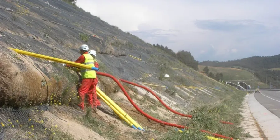
Technical reference image — Mackay
Local considerations
Mackay sits on the eastern edge of the Bowen Basin, where the surficial geology transitions from Quaternary alluvium to weathered Permian sedimentary rock. The alluvial deposits along the Pioneer River can contain discontinuous sand lenses sandwiched between low-permeability clays. When a drainage system is designed without accounting for these lenses, water can migrate laterally beneath the intended interception zone, re-emerging as a seepage face at a cut slope or footing edge. Poorly filtered drains also risk piping of fines, leading to sinkhole formation around trench backfill. A full asentamiento diferencial analysis is recommended when drainage is retrofitted into existing pavements, because the sudden removal of buoyant support can cause the clay to settle unevenly. The city's proximity to the coast adds a corrosion risk for perforated pipes in saline groundwater, so the design must specify Class 3 HDPE or equivalent non-metallic materials.
Design of trench drains, French drains, collector pipes, and granular drainage blankets based on measured hydraulic conductivity and target drawdown. Includes hydraulic grade line calculations and outlet energy dissipation.
02
Wick drain / PVD design for soft soils
Prefabricated vertical drain spacing analysis for clay consolidation acceleration. Combines Barron's radial consolidation theory with field permeability data to optimise drain grids for embankments and building pads.
03
Slope drainage and erosion control
Design of interception ditches, sub-horizontal drainage bores, and toe drains for cut slopes and embankments. Integration with surface water management plans to prevent scour at discharge points.
Applicable standards
AS 4678-2002 (Earth-retaining structures — drainage provisions), AS 1726-2017 (Geotechnical site investigations — groundwater measurement), Austroads Guide to Pavement Technology Part 4G (subsurface drainage design), FHWA NHI-05-042 (Subsurface drainage for highway facilities — filter criteria)
Frequently asked questions
Why is geotechnical drainage design important in Mackay's climate?
Mackay's high annual rainfall combined with low-permeability estuarine clays means that without engineered drainage, pore pressures can climb rapidly during the wet season, reducing soil shear strength and triggering bearing capacity failures. Proper drainage keeps the foundation soil unsaturated and stable year-round.
What is the typical cost range for a geotechnical drainage design in Mackay?
For a standard commercial or residential site in Mackay, the design fee typically falls between AU$1,400 and AU$4,450, depending on site complexity, number of boreholes required, and the extent of numerical modelling. The range covers the investigation, analysis, and a full drainage layout drawing set.
What standards govern drainage design in Australia?
The primary documents are AS 4678-2002 for earth-retaining structures drainage, AS 1726-2017 for groundwater measurement methods, and the Austroads Guide to Pavement Technology Part 4G for subsurface drainage in road applications. Local council development codes in Mackay also impose discharge rate limits.
How does tidal fluctuation affect drainage design near the Mackay coast?
Sites within 1 km of the coastline or tidal creeks experience a cyclic groundwater head that can reverse the hydraulic gradient twice daily. Drainage outlets must be fitted with tide-flex check valves, and the design should model the transient phreatic surface rather than assuming a static water table.