The tropical climate of Mackay, with over 1,600 mm of annual rainfall, saturates the coastal alluvial plains and creates a challenging environment for seismic site classification. Our team has conducted microzonation studies across the Pioneer River floodplain, where soft estuarine clays and loose sands dominate the upper 15 metres. We integrate geological mapping with geophysical surveys to define shear-wave velocity profiles (VS30) and soil amplification factors. Before finalising the zoning map, we often cross-check with a MASW-VS30 survey to validate the velocity layering, and then use soil classification to confirm the consistency of the materials encountered. This layered approach ensures that the microzonation reflects real ground behaviour under cyclic loading.
The contrast between stiff volcanic hills and soft Holocene deposits in Mackay produces seismic response variations that demand site-specific microzonation for safe design.
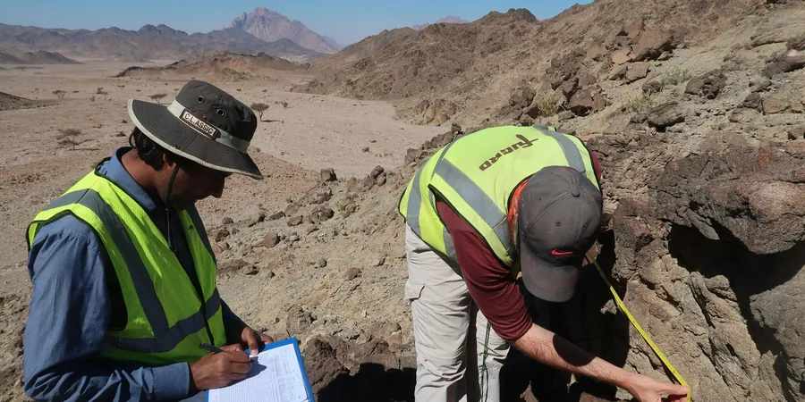
Methodology and scope
What we see repeatedly in Mackay is that the contrast between the stiff volcanic hills to the west and the soft Holocene deposits near the coast produces dramatic differences in seismic response over just a few kilometres. For a residential subdivision south of the city centre, the natural period of the soil profile can shift from 0.2 s on basalt to over 1.0 s on the estuarine flats. Our microzonation studies characterise these transitions by combining:
HVSR microtremor measurements for resonance frequency
MASW and ReMi for VS30 profiling
SPT borings with N-value corrections per NCEER guidelines
Cyclic triaxial tests on undisturbed samples
This multi-method dataset feeds directly into the site classification required by AS/NZS 1170.4:2007, allowing us to assign subsoil classes (Ae to Ee) with confidence across the Mackay urban area.
Technical reference image — Mackay
Local considerations
The most critical risk in Mackay is liquefaction of the young alluvial sands and silty sands beneath the central business district and the harbour area. During a design earthquake with a 475-year return period, these loose deposits can lose shear strength entirely, leading to differential settlements and lateral spreading. In contrast, the residential areas on the volcanic slopes near Eimeo face negligible liquefaction risk but require careful assessment of topographic amplification. Our microzonation maps delineate these zones so that engineers can adopt appropriate foundation solutions and ground improvement strategies where needed.
A district-scale assessment covering up to 10 km², using ambient noise arrays, MASW profiles, and existing borehole data to produce a VS30 contour map and liquefaction hazard zonation. Delivered as GIS-compatible layers with AS/NZS 1170 site class boundaries.
02
Site-Specific Seismic Response Analysis
Focused on a single property or small development, this service includes two to four boreholes, down-hole seismic logging, cyclic triaxial testing, and 1D/2D equivalent-linear analysis. The output includes acceleration response spectra and design PGA at the surface.
Applicable standards
AS/NZS 1170.4:2007 (Structural design actions – Earthquake actions), AS 1726:2017 (Geotechnical site investigations), NCEER 1997 (SPT-based liquefaction evaluation procedures), ASCE 7-22 (Minimum design loads – Site class definitions)
Frequently asked questions
What is seismic microzonation and why is it needed in Mackay?
Seismic microzonation is a detailed mapping of how local geology affects earthquake ground shaking. In Mackay, the transition from stiff volcanic rock to soft alluvial deposits over short distances means that two buildings only 500 m apart can experience very different shaking intensities. A microzonation study provides site-specific amplification factors, liquefaction potential, and site class per AS/NZS 1170 for safe design.
How does the Pioneer River floodplain affect seismic risk?
The floodplain consists of loose to medium dense sands and soft clays deposited by the Pioneer River. These materials have low shear-wave velocities (VS30 often below 360 m/s) and are highly susceptible to liquefaction. Our studies show amplification factors of 1.5 to 2.8 in these areas, compared to 1.0 on the adjacent volcanic hills.
What methods do you use to determine VS30 in Mackay?
We primarily use MASW (Multichannel Analysis of Surface Waves) and ReMi (Refraction Microtremor) for non-invasive VS30 profiling. Where boreholes are available, we perform down-hole seismic logging to obtain direct P-wave and S-wave velocities. All methods are cross-referenced with SPT N-values corrected for overburden and energy ratio.
How much does a seismic microzonation study cost in Mackay?
The cost ranges from AU$5,980 for a small site-specific study to AU$26,820 for a regional zoning covering up to 10 km². The final price depends on the number of boreholes, geophysical lines, and laboratory tests required. We provide a fixed-price quote after reviewing the site conditions and project scope.
Can microzonation help with existing buildings in Mackay?
Yes. For existing structures, we perform a seismic vulnerability assessment that uses microzonation data to estimate the actual ground motion at the building foundation. This helps in retrofitting decisions, especially for older buildings on the alluvial plain that were designed with lower seismic loads. We can also conduct HVSR measurements inside the building to assess soil-structure resonance.