The coastal geology of Mackay features a mix of Quaternary alluvium and residual soils derived from the surrounding volcanic ranges. Groundwater levels fluctuate with the tidal cycle of the Pioneer River, which directly affects excavation stability in the city's industrial and commercial zones. In our experience, a solid geotechnical excavation monitoring plan is essential before shoring or dewatering begins. We combine real-time piezometer readings with manual survey data to track movement in both temporary and permanent cuts. For deeper excavations we often run a MASW-Vs30 survey alongside the monitoring array to map stiffness contrasts across the site.
Real-time piezometer data combined with inclinometer readings gives a full picture of excavation behavior before any visible distress appears on site.
Methodology and scope
The tropical climate puts Mackay in a high-rainfall region averaging over 1,600 mm per year. This means pore pressures can change rapidly during a storm event, catching an unmonitored excavation off guard. Our approach includes automated tiltmeters and inclinometers placed at critical sections of the shoring wall. We also integrate standpipe piezometers to capture phreatic response in real time. The data is logged wirelessly and reviewed daily by our engineering team. We calibrate every instrument against AS 4678 guidelines and cross-check with manual survey readings to ensure the numbers tell a consistent story before any decision is made.
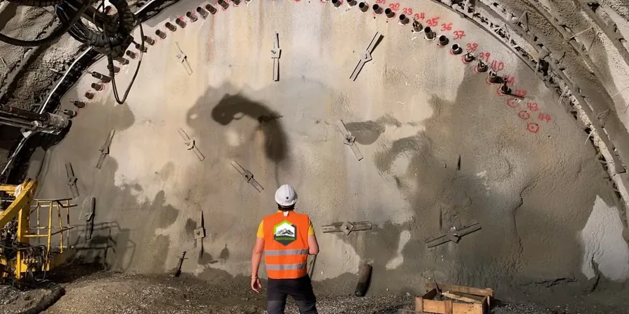
Technical reference image — Mackay
Local considerations
Mackay's urban expansion over the past two decades has pushed developments into former floodplains and low-lying paddocks. These areas often contain soft compressible clays and shallow water tables. Without proper geotechnical excavation monitoring, a simple trench for a stormwater line can induce lateral movement that damages adjacent pavements or utilities. We have seen cases where a weekend rain event raised pore pressure enough to trigger base heave in a braced excavation. The lesson is clear: monitoring is not a paperwork exercise; it is a physical safeguard that gives the site team time to react.
Inclinometers, vibrating-wire piezometers, and tiltmeters connected to a cloud platform that alerts the project team when movement or pore pressure exceeds pre-set limits. Suitable for deep excavations and shored cuts in the city centre.
02
Manual survey and visual inspection program
Regular prism monitoring with a robotic total station combined with crack mapping and walk-over inspections. This option works well for shallower utility trenches and low-risk bulk earthworks where continuous data logging is not required.
Applicable standards
AS 4678 – Earth-retaining structures, AS 1726 – Geotechnical site investigations, AS/NZS 1170.2 – Structural design actions (wind), FHWA-NHI-10-024 – Ground instrumentation manual
Frequently asked questions
What triggers a geotechnical excavation monitoring alarm in Mackay?
Alarm thresholds are set per AS 4678 and depend on the excavation depth, soil type, and proximity to structures. Typical triggers include lateral movement exceeding 15 mm at the crest of a shored wall or a pore-pressure rise that reaches 80 % of the overburden stress. The system sends an alert via SMS and email so the engineer can review data immediately.
How much does geotechnical excavation monitoring cost in Mackay?
For a typical deep excavation in Mackay's alluvial soils, the total cost ranges between AU$1.340 and AU$4.300 depending on the number of instrument locations, data-logging frequency, and project duration. This includes installation, baseline readings, weekly reports, and a final summary.
Do I need monitoring for a shallow trench less than 2 metres deep?
Under AS 4678, any excavation that could affect an adjoining structure or public footpath requires a risk assessment. In Mackay's soft clays, even a 1.5 m trench can experience wall collapse if the water table is high. We recommend at least manual survey monitoring for shallow cuts near roads or services.